Screen shots
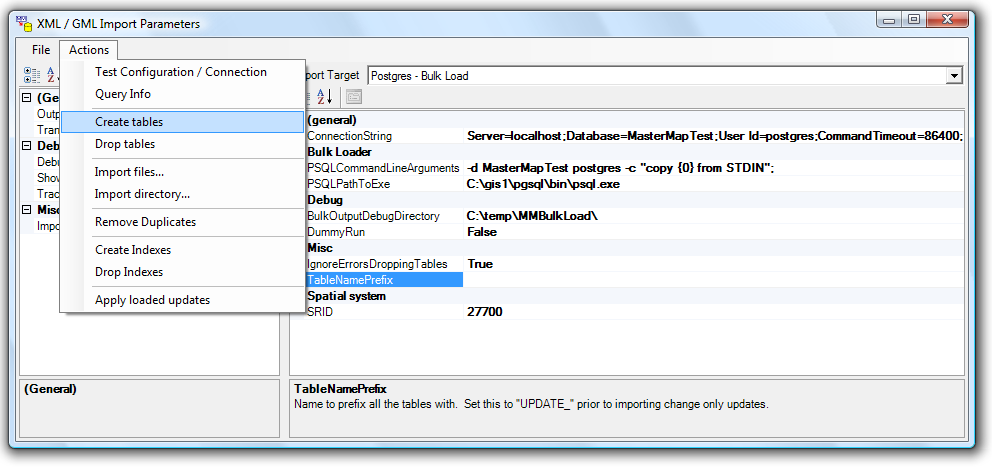
Configuring the importer
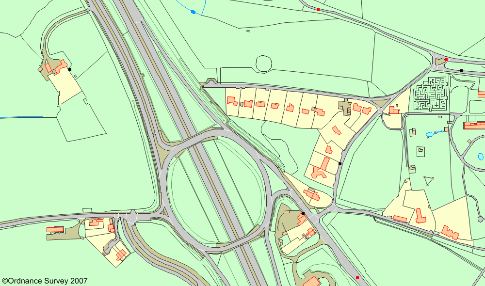
Resulting data as rendered by UMN MapServer
This importer will import MasterMap topographic, ITN and address data into SQL Server 2008, a Postgres database, or a map file such as ESRI Shape. The importer can be used in conjunction with products such as the UMN MapServer. The source for the importer is available and free for personal, trial and demo use.
Commercial terms are available below.
Features:
Zipped data is streamed through a compiled XSL transform into a bulk load or an ESRI Shape file.
Ordnance Survey have supplied an XSL transform which converts MasterMap data for display as an SVG in accordance with the OS style guide. The transform applied by this software is based on that.
(In 2009!) on a reasonable machine, the importer takes 2 minutes to process 10Mb of zipped data.
We would expect it to process a 35Gb national dataset in 7000 minutes - 4.8 days.
29th April 2010 - SVG symbols converted to PNG - see below
This package contains the source, binaries and documentation:
Old versions:
To get the latest source via SVN:
SVN checkout https://www.edonica.com/svn/Edonica/EdonicaGIS
(Or just click on the link to browse)
Configuring the importer
Resulting data as rendered by UMN MapServer
 |
benchMarkSymbol.25.png |
 |
screeFillSymbol.5.png |
 |
screeFillSymbol.25.png |
 |
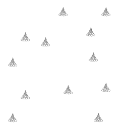
nonconiferousTreesAndCoppiceFillSymbol.10.png |
 |
provisionalAddressesSymbol.10.png |
 |
screePattern.5.png |
These can be downloaded from OrdnanceSuverySymbolsAsPNG.zip (4.0Mb)
Thank you for your support.
The following classes of user may use the software for free:
This restriction applies to the use of the generated data, rather than the user.
For users with less than 50Mb of compressed data.
£10 per megabyte of data zipped data imported.
Enables one user to import as much data as they want.
£500
For clarification / validation of use / other options, please contact Edonica.
Before placing an order for a license, you must download install and run the software, as well as testing the resulting data. You will receive no new software with the license.
The fee will be used to promote the development of other open source GIS projects.